
Discover the Future of Flight with Aerrow
With a fleet of advanced UAVs, certified pilots, and unmatched attention to detail, we deliver aerial content tailored to your unique project goals—whether it’s inspections, real estate, events, agricultural mapping, or cinematic footage. Explore our showcase below to see how we bring projects to life with precision, creativity, and reliability.
*All imaged and videos were captured by our experienced, FAA licensed pilots.



Our Services

-
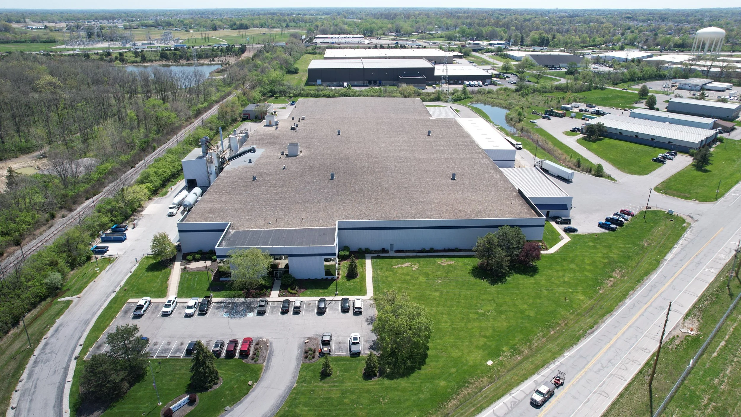
We provide professional Unmanned Aircraft System (UAS) inspection services to evaluate the structural integrity and condition of critical infrastructure assets. Utilizing advanced drone platforms equipped with high-resolution optical sensors, we collect precise aerial data to identify defects, deterioration, and maintenance concerns.
Our inspections generate detailed condition assessment reports that include annotated imagery, defect documentation, and actionable findings. Through photogrammetry and high-accuracy modeling techniques, we produce detailed 2D orthomosaics and 3D models to support thorough visual and structural analysis.
Compared to traditional manned inspections, our UAS-based approach significantly reduces operational risk, minimizes downtime, and lowers overall inspection costs. Our technology enables safe access to confined, elevated, or hazardous environments while maintaining exceptional data accuracy and repeatability for ongoing asset management.
-
Using advanced Unmanned Aircraft Systems (UAS), we generate high-resolution, survey-grade aerial maps and spatial data products for both commercial and residential applications. Our platforms integrate GNSS positioning with RTK (Real-Time Kinematic) and/or PPK correction capabilities to achieve centimeter-level accuracy during flight operations.
Through structured flight planning and automated grid missions, we capture overlapping, geotagged imagery optimized for photogrammetric processing. This allows us to produce detailed 2D orthomosaics, dense point clouds, digital surface models (DSM), digital terrain models (DTM), contour maps, and fully textured 3D models.
These highly accurate, life-like models provide measurable and scalable data suitable for:
Construction progress monitoring and volumetric analysis
Site planning and development visualization
Earthwork calculations and stockpile measurements
Insurance documentation and post-loss assessments
Property and asset management
Pre- and post-project condition comparisons
Our data outputs can be delivered in industry-standard formats compatible with CAD, BIM, and GIS platforms, ensuring seamless integration into your existing workflows. By combining precision positioning technology with advanced aerial data capture, we provide reliable, repeatable results that support informed decision-making and efficient project execution.
-
Description text goes here
About our brand
Aerrow is your full-service aerial and ground imaging partner, combining cutting-edge drone technology with seasoned expertise to bring your projects into sharp focus. From high-precision mapping and real-time construction progress monitoring to cinematic videography and detailed building or roof inspections, we tailor each flight plan to your specific needs—whether it’s a quick social-media reel or a multi-acre orthomosaic map with centimeter-level accuracy. Our all-in-one approach, which includes RTK-enabled positioning, thermal and multispectral sensing, and GIS integration, ensures you get actionable insights and stunning visuals faster than anyone else.
With Aerrow, you’re not just capturing data—you’re visualizing your vision.
Follow Us!
Follow Us!
Contact Us
Interested in working together? Fill out some info and we will be in touch shortly. We can’t wait to hear from you!